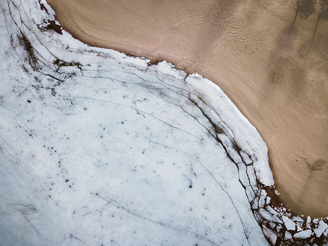
Surveying with drones helps in measuring land and creating accurate maps. It is useful for planning and project work.
We capture aerial data and convert it into 2D maps and 3D models. The focus is on clear and useful information for better decisions.